
NSDMB Committed To GIS Awareness And Training
By: , March 23, 2021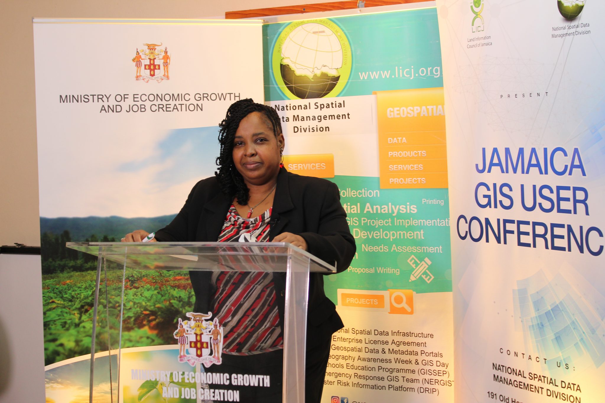
Photo: Contributed
Senior geographic information systems (GIS) Manager and Trainer, National Spatial Data Management Branch (NSDMB), Simone Lloyd.The Full Story
The National Spatial Data Management Branch (NSDMB) remains committed to raising awareness about developments in the geographic information systems (GIS) field and equipping educators with the necessary resources to impart GIS knowledge, despite challenges brought on by the coronavirus (COVID-19) pandemic.
For over a decade, the entity has engaged students and teachers in interactive expositions and competitions and training in GIS. Two of the NSDMB’s more popular engagements are the GIS in Schools Education Programme (GISSEP) and annual GIS Day Expo held at the University of the West Indies, Mona.
Due to the pandemic, these activities were held in virtual formats last year, and the NSDMB team is already planning for this year’s events.
“Our vision is to continue having events where we are able to still engage the students and still be relevant in terms of awareness,” NSDMB Senior GIS Manager and Trainer, Simone Lloyd, said in an interview with JIS News.
She noted that “one of the key things about staging the events is to create public awareness about the field of GIS, the various forms of geospatial technologies and how relevant and applicable they are and how they are being utilised in different spheres, and that’s different from promoting possible career options”.
“We want to ensure that we maintain that mandate of awareness, education, and also promotion of possible career options,” she added.
Ms. Lloyd noted that last year, the NSDMB facilitated two training sessions and a workshop, in collaboration with Spatial Innovision Limited to ensure that teachers are trained in ArcGIS Online Resources and how they can use that knowledge to support online learning.
“This was coupled with training in how to do installations and set up and how to apply what they learned in the introduction to ArcGIS courses to actually teaching aspects of the geography curriculum,” she pointed out.
“So, we want to continue with that this year, in terms of engaging the teachers so that they are aware of resources that are available and to support the learning process where geography, in particular, is concerned, and other subject matters, because it (ArcGIS) can be applied to any subject matter,” Ms. Lloyd said.
Through the post GIS Day competitions held in January, the NSDMB was able to award students with tablets to aid in online learning. At the handover ceremony held last month, students, teachers and principals alike, expressed appreciation for the devices.
The NSDMB is a branch of the Ministry of Housing, Urban Renewal, Environment and Climate Change.
Its mission is to coordinate the development, implementation, maintenance and management of a national spatial data infrastructure for Jamaica and to promote the sharing and use of geospatial data, so that citizens, communities and government can access and use place-based data to make better decisions.
