


Community Access Points Being Retrofitted With Solar Panels
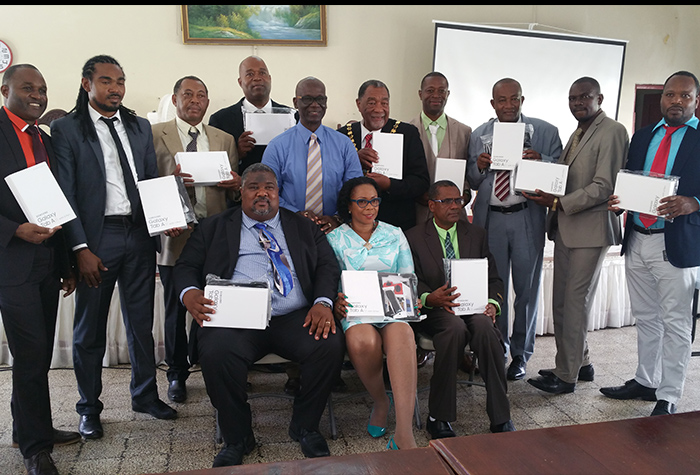
Minister of Science, Energy and Technology, Dr. the Hon. Andrew Wheatley, says Community Access Points (CAP) across the island are being retrofitted with solar panels in order to make them...
By: , November 8, 2017