Competitions For GIS Day To Be Held Virtually On January 29
By: , January 19, 2021The Full Story
Competitions associated with Geographic Information Systems (GIS) Day activities will now be held virtually on January 29 from 10:00 a.m. to 3:00 p.m.
These include the Poster, Jingle and Essay competitions, GIS Bee and Treasure Hunt. The Treasure Hunt will see students using their mobile devices to map the coordinates of specific landmarks in each parish to unlock clues to finding the hidden treasure.
International GIS Day, the third Thursday in November, is usually commemorated locally with an expo at the Assembly Hall of The University of the West Indies, Mona, where between 1,000 and 1,500 students and teachers gather to see and experience how public and private entities use GIS technologies in their daily operations.
For the first time in 18 years, the GIS Day Expo was held virtually on November 18, 2020, because of the coronavirus (COVID-19) pandemic. This resulted in a modified version of activities, which would normally see students engaged in several competitions and tours of the University campus.
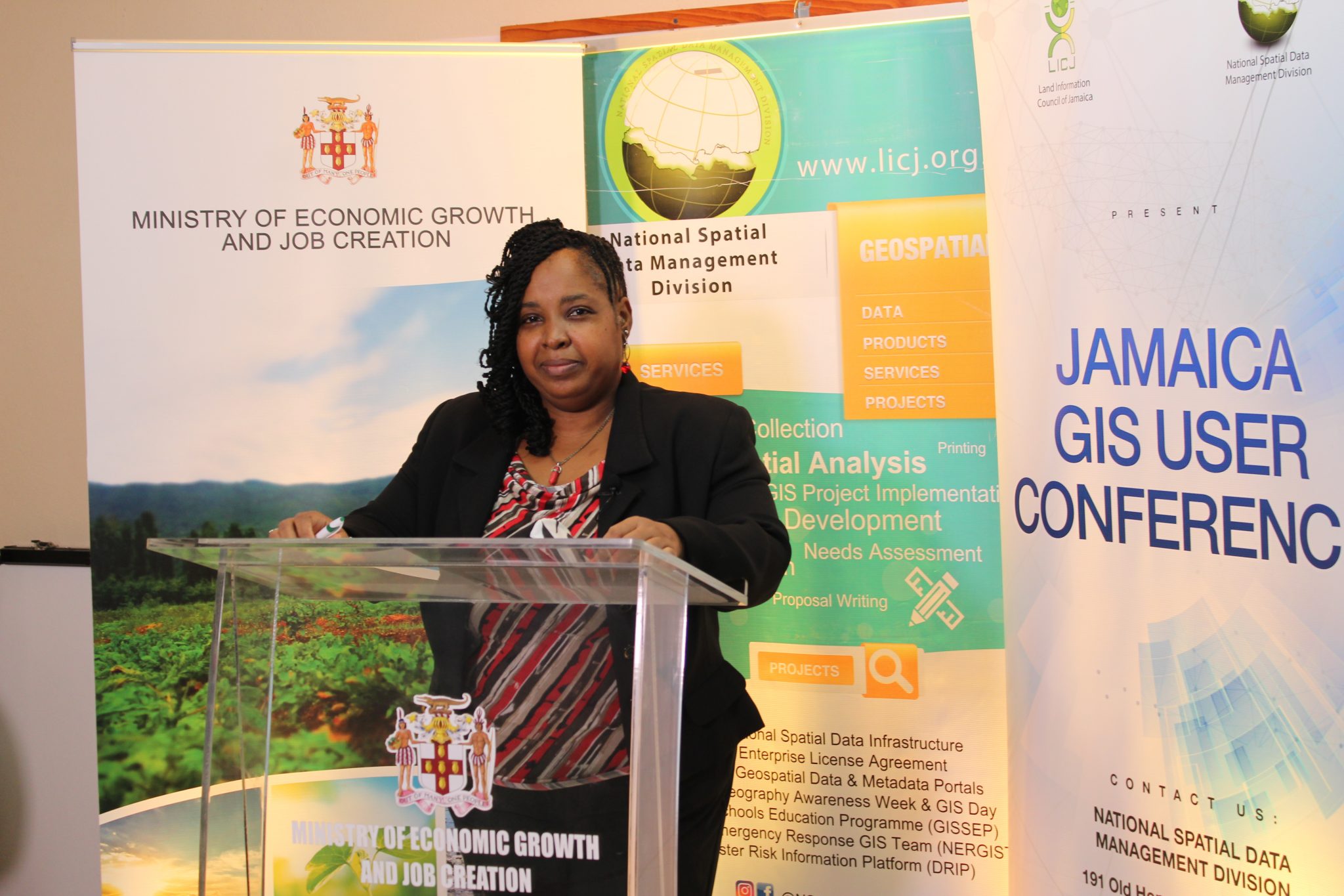
Senior GIS Manager and Trainer in the National Spatial Data Management Branch of the Ministry of Housing, Urban Renewal, Environment and Climate Change, Simone Lloyd, explained the need to postpone the competitions amid the late start to the school year and the challenges of virtual schooling.
“Given the feedback from the schools, we thought, let us postpone the competitions and leave it until January, so it will give the schools enough time in terms of coming up to scratch where their academic work is concerned. Plus, it will give the teachers and the students more time in terms of all the preparations for the competitions,” she said.
“They are already familiar with the competitions, and what the rules and guidelines are. They have an additional two months to prepare, and to come on board at the end of January,” she added.
Government Ministries, Departments and Agencies with representation on the Land Information Council of Jamaica have also been invited to partner with schools and enter the Map Competition.
“The focus of the map competition is for the various organisations to identify a school within their area, working with the school, mapping its location and submitting a map for the school, based on the school’s location. The organisation with the winning map will win a drone, and the drone is being sponsored by Spatial Innovision Limited,” Ms. Lloyd said.
Spatial Innovision Limited is the Caribbean distributor of the Environmental Systems Research Institute’s (ESRI) GIS mapping software used by several institutions in Jamaica. The long-standing sponsor of GIS Day trophies and medals has consented to a change in prizes this year, so the student winners of the various competitions will be awarded a tablet.
The competitions will focus on the theme for the 18th GIS Day Expo: ‘Geospatial Technologies: Shaping Our Future’, with the topic for the essays and posters being: ‘Given the recent impact of COVID-19 globally, how can Jamaica use geographical information systems to enhance the fight against pandemics?’
The deadline for registration for all competitions is January 22 and Ms. Lloyd is encouraging entrants to register for a chance to win one of the many prizes.
“Any organisation out there which is raring to go and would like to have a drone to aid in the execution of their GIS tasks – definitely register. Choose a school in close proximity to you, engage them, work with them, facilitate the mapping of the school, submit your entry, and compete, and hopefully, you’ll be the winner of the Parrot Anafi drone this year. Secondary schools, you’re able also to earn a tablet and with that to contribute to your educational advancement. So, please register. Talk with your Geography or Social Studies teacher. Dialogue with them and sign up for the competitions,” she urged.
The link to registration can be found on the National Spatial Data Management Branch’s social media pages.


