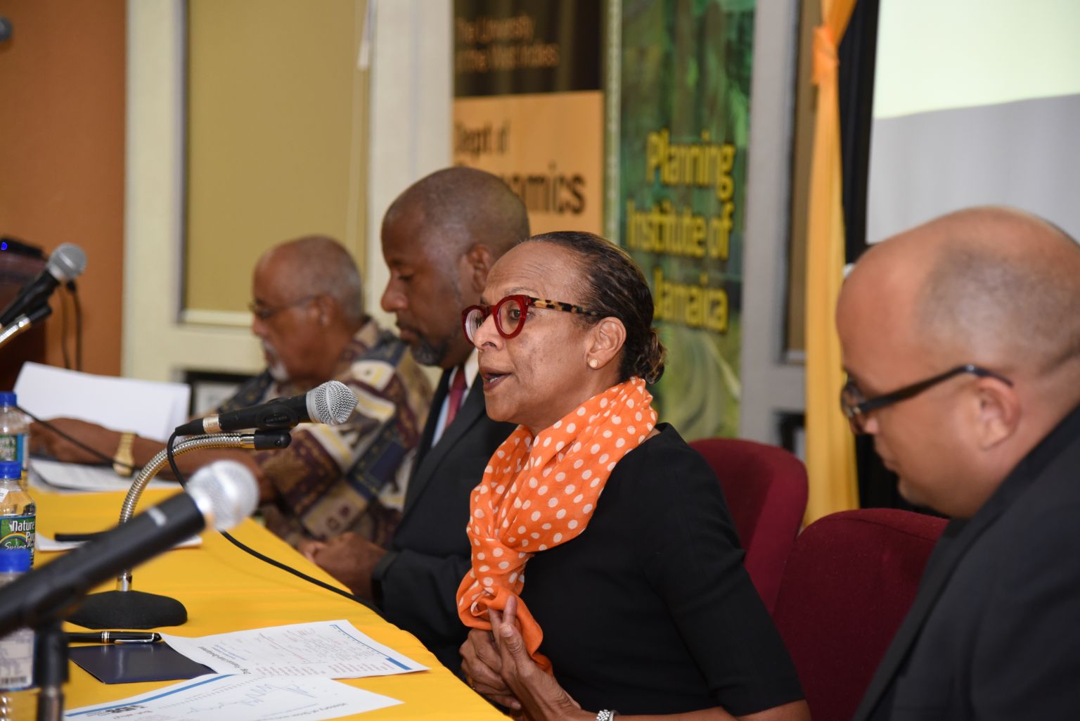


USAID-Funded Project Empowering Women and Girls
The United States Agency for International Development (USAID)-funded Fi Wi Jamaica Project, being executed through the University of Technology (UTech), recently hosted the second in a series of conversations called ‘Big ‘Ooman Chat’. Several successful professional and entrepreneurial women were invited to hear of the success of one major output of the project, ‘Girls using Ubuntu, Respect and Love for...