
Government to Expand Protected Areas by 30% by 2030
By: , January 14, 2026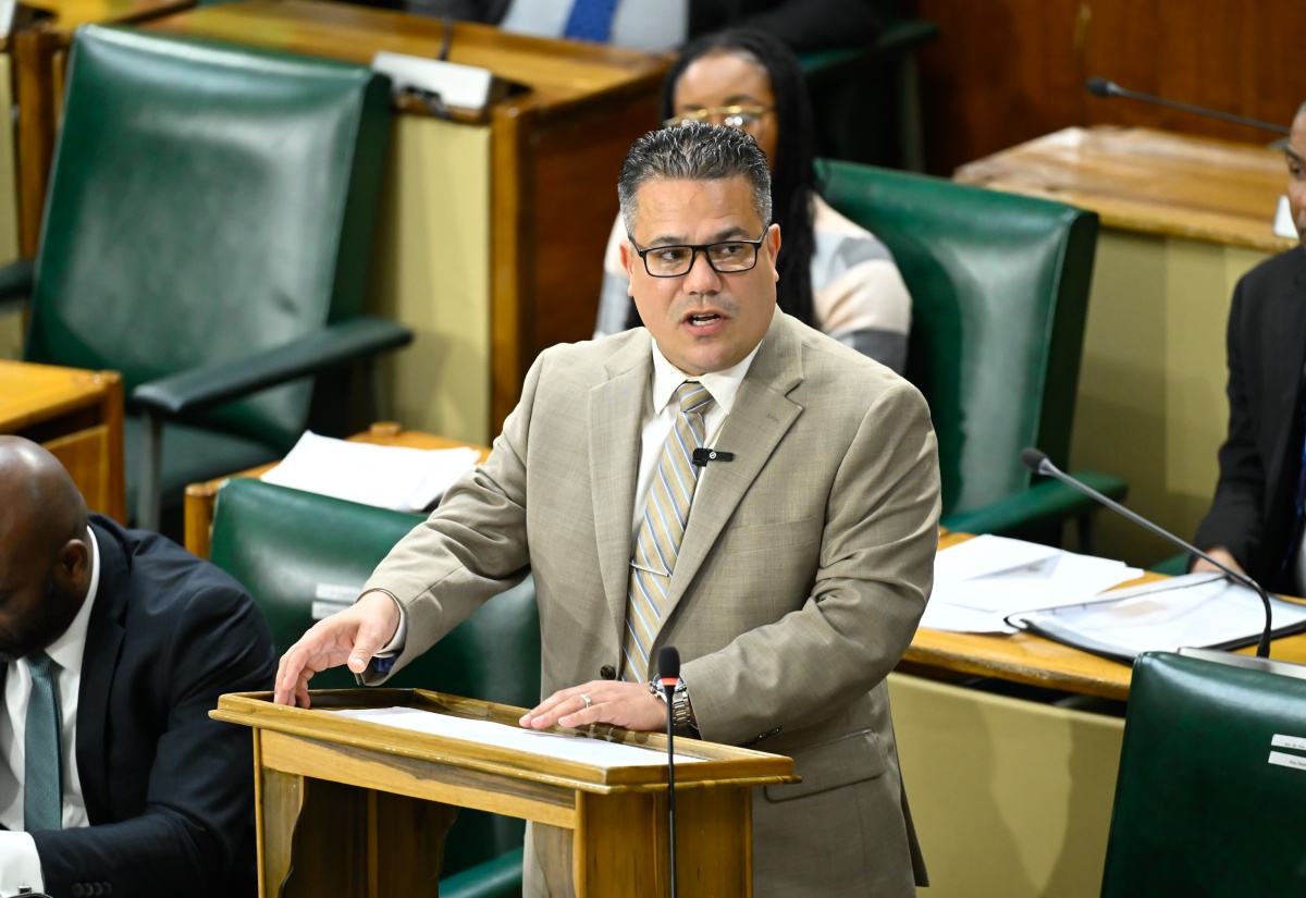
Photo: Donald De La Haye
Minister of Water, Environment and Climate Change, Hon. Matthew Samuda, addresses the House of Representatives on January 13.The Full Story
The Government has committed to expanding the country’s protected areas network by approximately 30 per cent by the year 2030, commonly referred to as the ‘30×30’ target.
Minister of Water, Environment and Climate Change, Hon. Matthew Samuda, said at present, Jamaica has declared approximately 24 per cent of its landmass as protected under law, including the Cockpit Country Protected Area, the country’s single largest terrestrial protected area, which spans approximately 78,000 hectares.
The Minister was delivering a statement in the House of Representatives on Tuesday (January 13).
He informed, further, that the National Environment and Planning Agency (NEPA) is currently working on the declaration of five new protected areas under the Natural Resources Conservation Act in the 2026/27 financial year, that is, Long Mountain (St. Andrew); Canoe Valley (Clarendon/Manchester); Bengal (St. Ann); Montpelier (St. James); and Negril (Hanover/Westmoreland).
“Additionally, the Forestry Department has declared 16 new forest management areas under the Forest Act, with an additional one to be declared in the new fiscal year. The Department is also working with my Ministry on the declaration of 17 new forest reserves. These new protected areas will advance the country’s achievement of the ‘30×30’ target,” Mr. Samuda said.
Turning to Hurricane Melissa, Mr. Samuda said on October 28, the storm crossed the island with sustained winds and a destructive force that tested not only infrastructure but the very natural systems that protect watersheds, coastlines and communities.
He told the Lower House that Jamaica’s forests, the country’s first and most formidable line of defence against flooding, landslides, drought, and biodiversity loss, were significantly affected.
“The data is sobering. Between November and December 2025, the Forestry Department conducted more than 300 rapid forest damage assessments islandwide, covering approximately 528,000 hectares of forested land, including Forest Reserves, Forest Management Units, and privately owned forested areas.
These assessments are not anecdotal; they are systematic, field-based, and guided by internationally accepted methodologies,” he stated.
“The findings confirm that Hurricane Melissa carved a west-to-northwest corridor of destruction across Jamaica, with western, central, and parts of northern parishes bearing the brunt of the damage. In several forests, particularly those on steep terrain and shallow soils, damage levels reached between 76 and 100 per cent. This level of destruction was characterised by complete canopy loss, uprooted mature trees, fractured trunks, and slope instability,” he added.
Mr. Samuda stated that disturbed broadleaf forests were the hardest hit, with more than 42,000 hectares degraded, accounting for more than 30 per cent of all recorded damage.
Secondary forests, areas of regeneration from anthropogenic damage followed closely, urban tree cover declined by more than 26 per cent, and mangrove ecosystems, critical to coastal protection, suffered nearly 24 per cent degradation.
“With respect to mangroves, the data confirms that approximately 23 per cent of our mangrove forests sustained damage, primarily from wind throw, sediment displacement and prolonged inundation. In key mangrove complexes in Trelawny, St. James, Hanover, St Elizabeth and Westmoreland, an estimated 90 per cent of trees showed evidence of uprooting, canopy loss or severe defoliation,” Mr. Samuda said.
“These structural changes have direct implications for shoreline protection, nursery habitat for fish and invertebrates, and coastal carbon stocks. That is why mangrove restoration has been prioritised within the national response, including targeted replanting at Parottee and other vulnerable wetlands, using species and techniques proven to stabilise shorelines and accelerate natural recovery,” he added.
The Minister further stated that the assessments have revealed that approximately 51 per cent of impacted forests experienced moderate to severe damage, defined by canopy loss exceeding half of pre-hurricane cover, broken and uprooted trees, exposed soils and compromised watershed function.
Mr. Samuda said this level of forest loss has real, immediate and potentially catastrophic consequences.
“These consequences include increased water insecurity, increase of flood and landslide risks, undermining biodiversity, and threatens years of public investment in reforestation, long-term climate resilience and environmental stewardship,” he continued.
