


Progress in Development of National Digital Cadastral Map
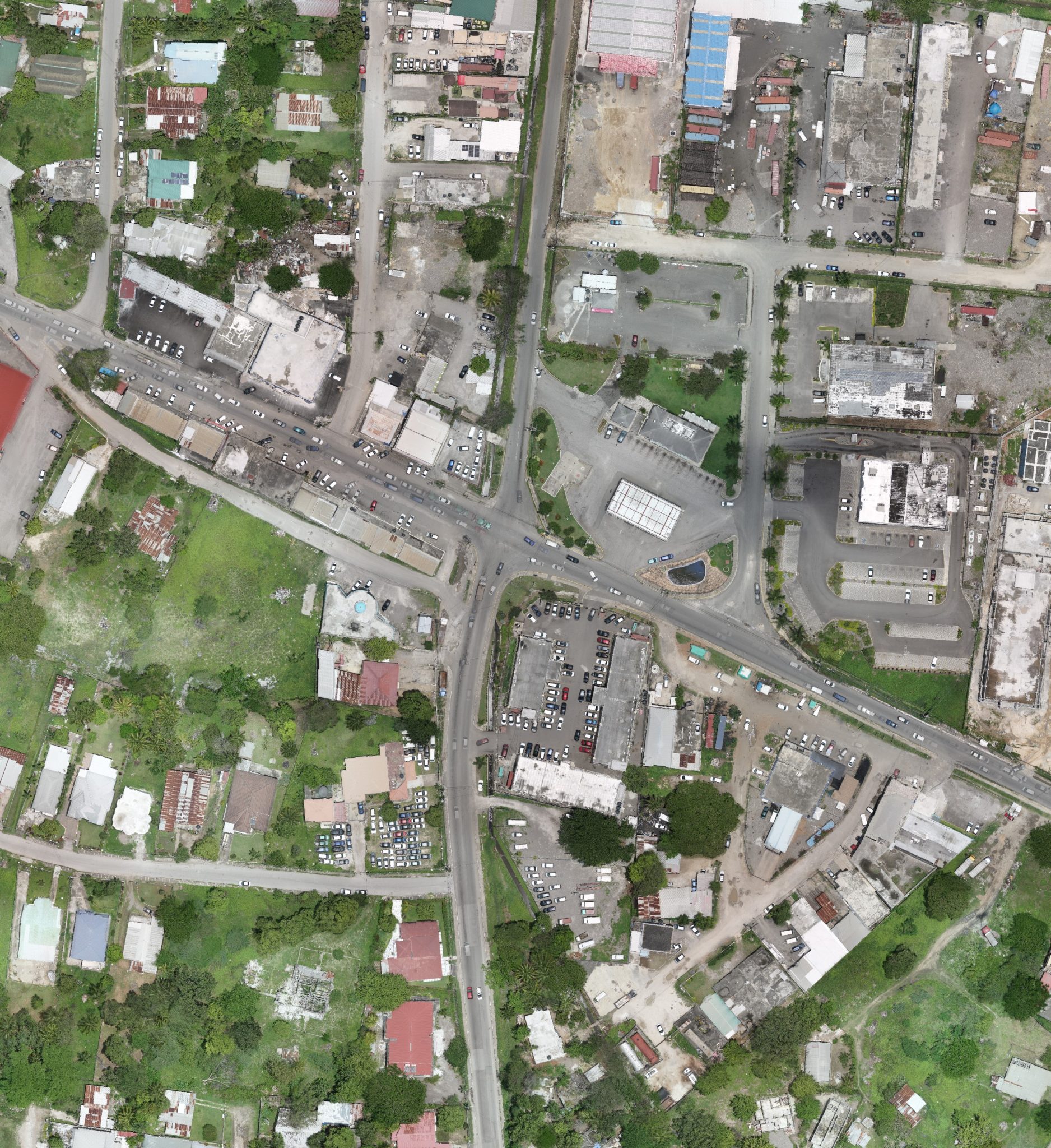
Progress is being made in the development of the Government of Jamaica’s National Digital Cadastral Map, thanks to the incorporation of technology in data collection. The map, which details the legal boundaries of properties, will show all of the land parcels and support land titling, environmental resource management, the development approval process and, by extension, the country’s economic growth and...