WRA Highlights Critical Role of GIS Technology in Disaster Preparedness and Emergency Management
By: , November 20, 2025The Full Story
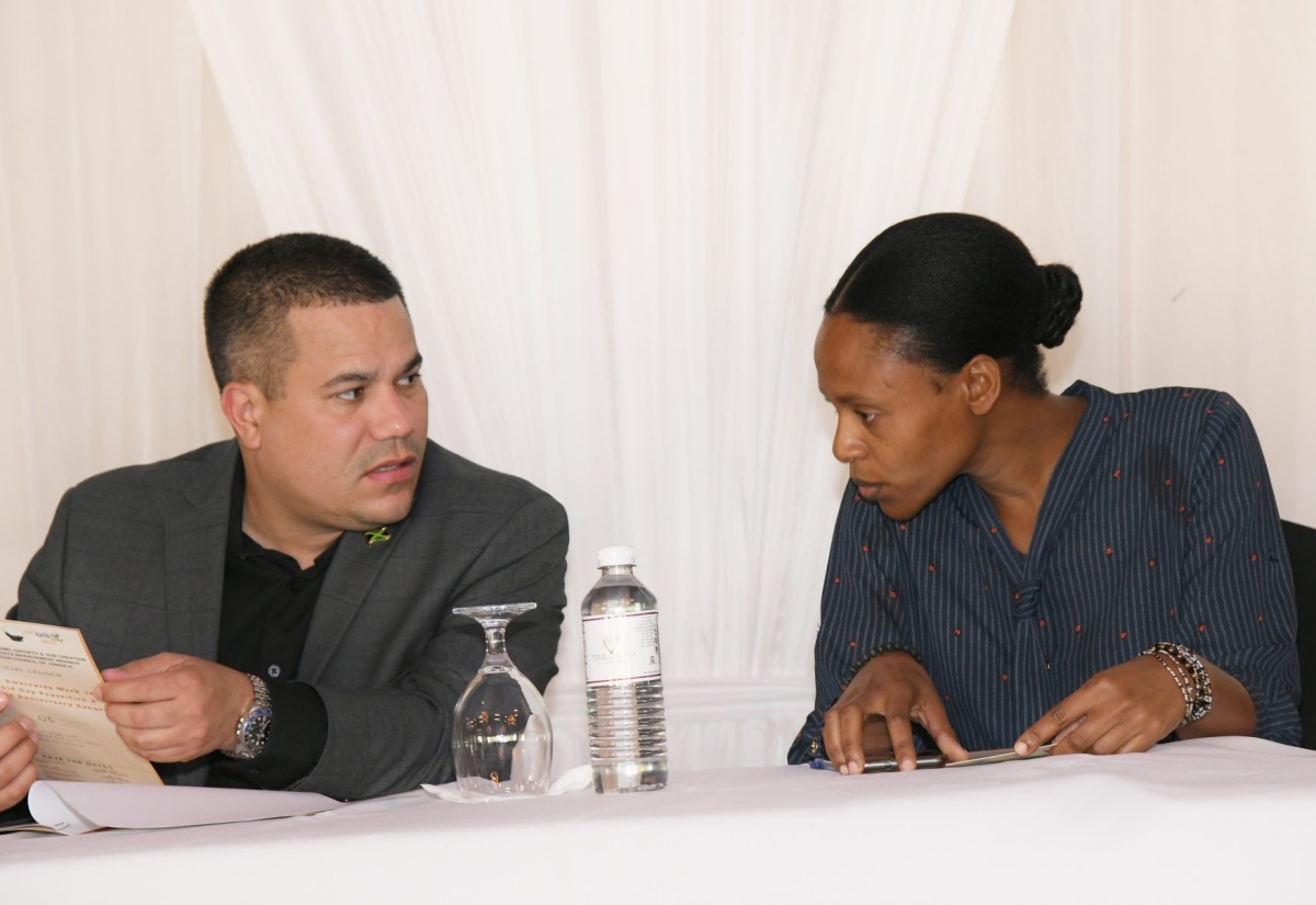
Geographic Information System (GIS) Officer at the Water Resources Authority (WRA), Tricia-Rae Rodriques, has emphasised the vital role of GIS in Jamaica’s disaster preparedness and emergency management efforts following Hurricane Melissa.
She notes that GIS is a “location science”, pointing out that “it’s a very effective tool, because it allows people to visualise what is happening.”
“Once we know what is happening and where, we’re able to put that in a spatial framework on a map. Following Hurricane Melissa, on any social media platform, you would have seen a lot of maps being posted, some by our international partners, others locally. Some of those maps would have been showing areas prone to flooding, where the [emergency] shelters are located, and the communities that may be impacted or that have been impacted,” Ms. Rodriques told JIS News.
She further noted that the technology serves as a powerful decision-making tool on matters related to people’s safety and the impact that severe weather systems, such as hurricanes, have on the natural and built environment.
“In the context of Hurricane Melissa, what geospatial technology, which includes the broader field of remote sensing, has allowed us to do across government and across various private interests is to lay out the framework as to what is available and where the critical facilities are,” she said.
GIS technology has also formed part of the international assistance provided to Jamaica during and after the passage of Hurricane Melissa, aimed at strengthening the country’s technical capacity.
“We’ve had partners in various initiatives that we’re a part of who have reached out to provide us with technical data that was grounded in geospatial technology. We would have gotten stream flow forecasts, which are important for flood prediction. We have also gotten potential flooded areas from another partner, Copernicus, in the European Union during the [hurricane], and that data was critical, in that it provides an overview of the areas that we need to go into after the event to check for flooding,” Ms. Rodriques said.
Meanwhile, activities hosted by the WRA to commemorate GIS Day on Wednesday (November 19) highlighted how the technology is applied across the Authority, with particular emphasis on its role in responding to Hurricane Melissa.
GIS Day is a global observance held annually on the third Wednesday in November, with Jamaica’s local theme selected by the Land Information Council of Jamaica (LICJ).
This year’s observance was spearheaded by the National Spatial Data Management Branch in the Ministry of Water, Environment and Climate Change, under the theme: ‘GIS on the Frontline – Jamaica’s Geospatial Response to Hurricane Melissa’.
The focus areas highlighted the application of GIS technology to capture flood‑impact zones through field mapping, satellite imagery, and drone assessments.

