More GIS Teacher Training Workshops
By: , March 31, 2019The Key Point:
The Facts
- “We want to target teachers’ colleges so that student teachers are taught spatial skills and they are taught how to use the technologies. With these institutions we provide their computer labs with GIS software at no cost,” Ms. Lloyd said.
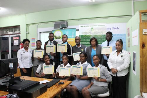
- Lecturers and student teachers from Church Teachers’ College received certificates of participation and Environmental Systems Research Institute certificates after completing an online GIS programme. The teacher training session was dubbed: ‘Teaching with GIS: Thinking Spatially’.
The Full Story
The National Spatial Data Management Division of the Ministry of Economic Growth and Job Creation will be increasing the number of geographic information systems (GIS) teacher training workshops, under its GIS in Schools Education Programme (GISSEP).
This was disclosed by Acting Principal Director of the Division, Simone Lloyd, in an interview with JIS News, following the conclusion of a teacher training workshop at the Church Teachers’ College in Manchester, on March 27.
“We usually do the GISSEP trainings in the fourth quarter of the financial year, but we plan to have others this year. There are at least three planned,” Ms. Lloyd noted.
The GISSEP trainings are conducted in regional workshops incorporating the Ministry of Education, Youth and Information’s regions and also at teachers’ colleges.

The Division has a Memorandum of Understanding with four tertiary institutions under GISSEP – Church Teachers’ College, Shortwood Teachers’ College, College of Agriculture, Science and Education (CASE) and Mico University College.
“We want to target teachers’ colleges so that student teachers are taught spatial skills and they are taught how to use the technologies. With these institutions we provide their computer labs with GIS software at no cost,” Ms. Lloyd said.
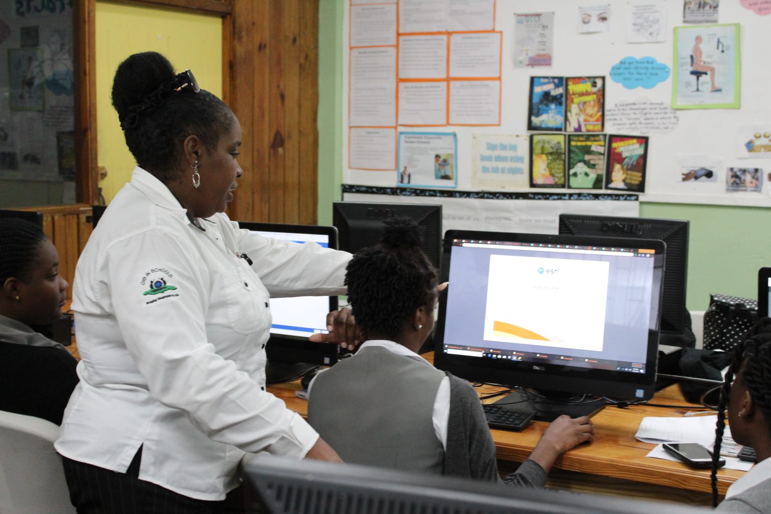
“Then we facilitate the training of the lecturers and also the student teachers in the technology and how the technology can aid them in better delivering geography, social studies and any other curriculum. However, we tend to focus on geography and social studies, since they are the subject matters that usually speak to location,” she added.
Lecturers and student teachers are engaged in using ArcGIS Online and a desktop software that gives access to interactive maps and geographic data from across the world and are tested at the end of the training sessions.
Lecturers and student teachers from Church Teachers’ College received certificates of participation and Environmental Systems Research Institute certificates after completing an online GIS programme. The teacher training session was dubbed: ‘Teaching with GIS: Thinking Spatially’.


