
Importance of Hydrography in Supporting Sustainable Development
By: , June 17, 2025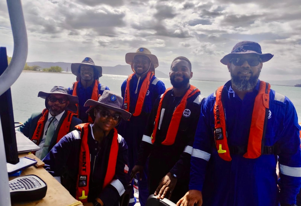
Photo: Contributed
Members of the National Land Agency (NLA) hydrographic survey team conduct mapping operations at sea as part of ongoing efforts to support safe navigation, coastal development, and marine resource management. World Hydrography Day will be observed on June 21.The Full Story
Jamaica joins the international community to mark World Hydrography Day on June 21, and local experts are underscoring the growing importance of hydrography in safeguarding national interests, supporting sustainable development, and driving economic expansion within the blue economy.
As the country celebrates the Day under the global theme, ‘Seabed Mapping: Enabling Ocean Action’, the message is clear: mapping the blue frontier is not just about knowing what lies beneath; it is about shaping the future above.
Hydrography, the science and practice of surveying and mapping water bodies and coastal areas, is vital to a country like Jamaica, whose economy, environment, and way of life are intricately tied to the sea.
From ensuring safe navigation to supporting infrastructure development and climate resilience, the discipline is playing an increasingly central role in national planning.
Acting Chief Hydrographer at the National Land Agency (NLA), Matthew-Dane Henry, describes hydrography as both “art and science”, with techniques that range from measuring water depths to capturing the physical characteristics of the seabed and coastline.
“With Jamaica being an island State, hydrography is important for multiple reasons, but two stand out – safety of navigation and resource management,” he shares.
Mr. Henry points out that with over 90 per cent of global trade occurring via maritime routes, up-to-date nautical charts are crucial for ensuring vessels can enter Jamaica’s ports safely.
“These charts, which rely on accurate bathymetric (underwater depth) data, help mariners avoid hazards and protect lives, cargo, and infrastructure,” he added.
Beyond navigation, hydrographic data also supports the sustainable management of marine resources, including fisheries, tourism assets, and even potential sources of energy and minerals hidden beneath the waves.
“Jamaica’s landmass spans just under 11,000 square kilometres, but our maritime boundaries cover an area over 23 times that size,” Mr. Henry notes, adding that “we can’t manage what we don’t know, so it is essential that we map these waters thoroughly.”
The NLA’s hydrographic survey operations, he says, begin with identifying target areas for mapping.
This is followed by setting up tide staff and tide gauges to collect accurate water-level data.
“The team then establishes vertical and horizontal control points, calibrates their equipment, and deploys vessels to gather detailed seabed information using advanced sensors. Once data collection is complete, the information is processed to create or update nautical maps and charts,” Mr. Henry says.
He points out that these surveys have wide-ranging applications. “In coastal development, hydrographic data informs engineers about seabed conditions, influences the design and placement of overwater bungalows, marinas, and port facilities. In disaster preparedness, mapped coves and inlets can serve as shelters for marine vessels during hurricanes,” he tells JIS News.
The National Land Agency, as the primary hydrographic authority, works in close collaboration with the Jamaica Defence Force (JDF) Coast Guard and international partners.
The JDF provides essential maritime support and security during surveys, using both manned and unmanned vessels to transport personnel and equipment.
First District Coast Guard Operations Officer (Acting), Lieutenant Junior Grade Balfour Hines, explains that hydrographic data also benefits the JDF’s core functions.
“This information aids us in daily planning for search and rescue operations and allows us to navigate safely during missions. We also provide the platform and security to ensure that surveys are completed without interference,” says Lieutenant Hines.
Data collected by the NLA and supported by the JDF is shared with international organisations such as the United Kingdom Hydrographic Office, which assists with data processing and the production of nautical charts.
For his part, Senior Director of Surveys and Mapping at the NLA, Wayneworth Hamilton, highlights the broader significance of this collaboration.
“Hydrographic surveying supports the development of coastal infrastructure, the delimitation of territorial boundaries, and even ship design through Computational Fluid Dynamics. It also plays a critical role in transportation efficiency, especially for an island State like ours,” he says.
Mr. Hamilton also notes that climate change has made hydrography more urgent than ever.
Rising sea levels, beach erosion, and the increasing frequency of extreme weather events pose serious risks to Jamaica’s economy, particularly the tourism sector.
“There is a national thrust to monitor sensitive coastal areas using hydrographic data. We’re constantly expanding our capacity by training officers and acquiring new equipment. Hydrography is key to developing early warning systems and guiding climate action, both nationally and across the region,” he says.
At the heart of this mission is the promise of the blue economy, a vast, largely untapped sector that includes tourism, fishing, marine research, and seabed exploration.
From enhancing maritime safety to unlocking marine-based opportunities, hydrography is positioning Jamaica to thrive in a changing world.
