
JCF Uses Geospatial Data to Improve Operations
By: , October 11, 2017The Key Point:
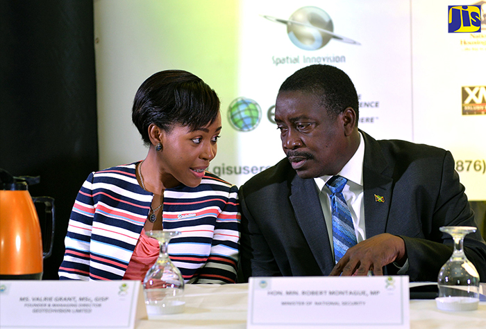
Photo: Yhomo Hutchinson
Minister of National Security, Hon. Robert Montague (right), in conversation with President of the Urban and Regional Information Systems Associations (URISA), Caribbean Chapter, Valrie Grant, during the opening ceremony of the two-day Jamaica GIS User Conference at The Jamaica Pegasus hotel on October 10.The Facts
- He said the Geographic Information System (GIS) 3D map software being used by the JCF in a range of platforms and applications has been significant in helping the Force to track criminal activity, plan operations, and implement traffic and border control, as well as to make geotagged reports, determine police patrol and enable vehicle tracking.
- Mr. Montague said another application to come on board will be the Jamaica Eye, which is a network of all the Government and some 500 privately owned CCTV feeds. He said this will also include a video analytics suite, which uses facial recognition, geofencing and tracking.
The Full Story
Minister of National Security, Hon. Robert Montague, has credited the use of geospatial data in improving the technological capabilities of the Jamaica Constabulary Force (JCF) as it seeks to predict and prevent criminal activity.
Addressing the opening ceremony of the inaugural Jamaica GIS User Conference at The Jamaica Pegasus hotel on Tuesday (October 10), Mr. Montague said the Ministry is keen to use technology as a means of amplifying the effectiveness of the Force.
He said the Geographic Information System (GIS) 3D map software being used by the JCF in a range of platforms and applications has been significant in helping the Force to track criminal activity, plan operations, and implement traffic and border control, as well as to make geotagged reports, determine police patrol and enable vehicle tracking.
“In planning operations, security personnel can ensure their own safety in how they position men and women on the frontline. They use the map in treating with hotspots, and in making determinations about the number of persons and the distribution of the persons,” Mr. Montague said.
The Minister further cited a mobile application that utilises GIS software, which allows officers to make location-tagged reports from the Zones of Special Operations (ZOSOs).
This, along with a JCF Docs app, was developed by a team of JCF and Jamaica Defence Force officers. The JCF Doc app is a database of all the documents a police officer may need in the field, including a book of rules, the Laws of Jamaica, the Use of Force guidelines and the INDECOM guidelines.
Among the other applications to be introduced by the JCF utilising the GIS software is an e-policing platform, which allows officers to sign in on a location without physically going into the station.
A JamPulse Stat app will place police statistics on the GIS map in order to pinpoint where and when certain criminal activities occur.
Mr. Montague said another application to come on board will be the Jamaica Eye, which is a network of all the Government and some 500 privately owned CCTV feeds. He said this will also include a video analytics suite, which uses facial recognition, geofencing and tracking.
“For example, if we are trying to track a car, once it passes these cameras, we would be able to do that. We have utilised the talents within the JCF and JDF and are using the GIS map developed by
Jamaicans, so what we are doing is utilising appropriate technology that is developed by Jamaicans for Jamaica, for every citizen,” he said.
The two-day Jamaica GIS User Conference is being hosted by the National Spatial Data Management Division, an agency of the Ministry of Economic Growth and Job Creation, under the theme ‘Geospatial Technologies: Mapping Our Way to Secure Communities’.
