
Expect Torrential Rains from Hurricane Matthew
By: , October 3, 2016The Key Point:
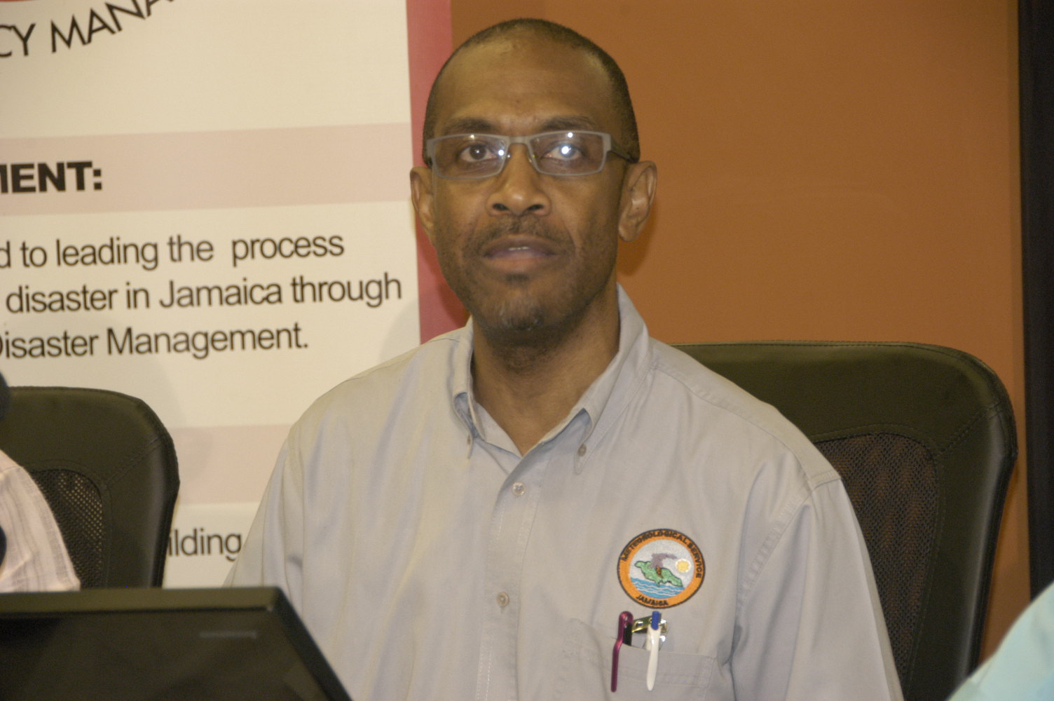
Photo: Head of the Meteorological Service of Jamaica Met Office), Evon Thompson, speaking at a press conference at the Office of Disaster Preparedness and Emergency Management's ODPEM) Haining Road office in Kingston on Sunday October 2).
Head of the Meteorological Service of Jamaica (Met Office), Evan Thompson, speaking at a press conference at the Office of Disaster Preparedness and Emergency Management's (ODPEM) Haining Road office in Kingston on Sunday (October 2).The Facts
- “The rains will be consistent, continuous and torrential over sections of the country,” he said, noting that rainfall could exceed 15 inches in the eastern end of the island.
- Mr. Thompson said storm-force winds are expected to peak on Monday afternoon. Currently, wind speed is 45 miles per hour (mph), but the system is moving at a slow six mph.
The Full Story
Head of the Meteorological Service of Jamaica (Met Office), Evan Thompson, says Jamaicans can expect torrential rainfall from Hurricane Matthew over the next two days.
“The rains will be consistent, continuous and torrential over sections of the country,” he said, noting that rainfall could exceed 15 inches in the eastern end of the island.
Mr. Thompson was speaking at a press conference at the Office of Disaster Preparedness and Emergency Management’s (ODPEM) Haining Road office in Kingston on Sunday (October 2).
He said the entire island will feel the effects of the system, with the parishes of St. Mary, Portland, St. Thomas, Kingston, St. Andrew and St. Catherine being severely affected.
Already, there have been reports of flooding in several areas of the island, which is under a hurricane warning,
Mr. Thompson said storm-force winds are expected to peak on Monday afternoon. Currently, wind speed is 45 miles per hour (mph), but the system is moving at a slow six mph.
Storm surges (wave activity), he noted, could reach up to 10 feet in some eastern coastal areas.
Mr. Thompson is urging Jamaicans to remain vigilant and take every precaution.
“It is a Category 4 hurricane that is capable of causing catastrophic damage,” he pointed out.
