Mines and Geology Division Developing Tool to Predict Storm Surges
By: , July 26, 2019The Key Point:
The Facts
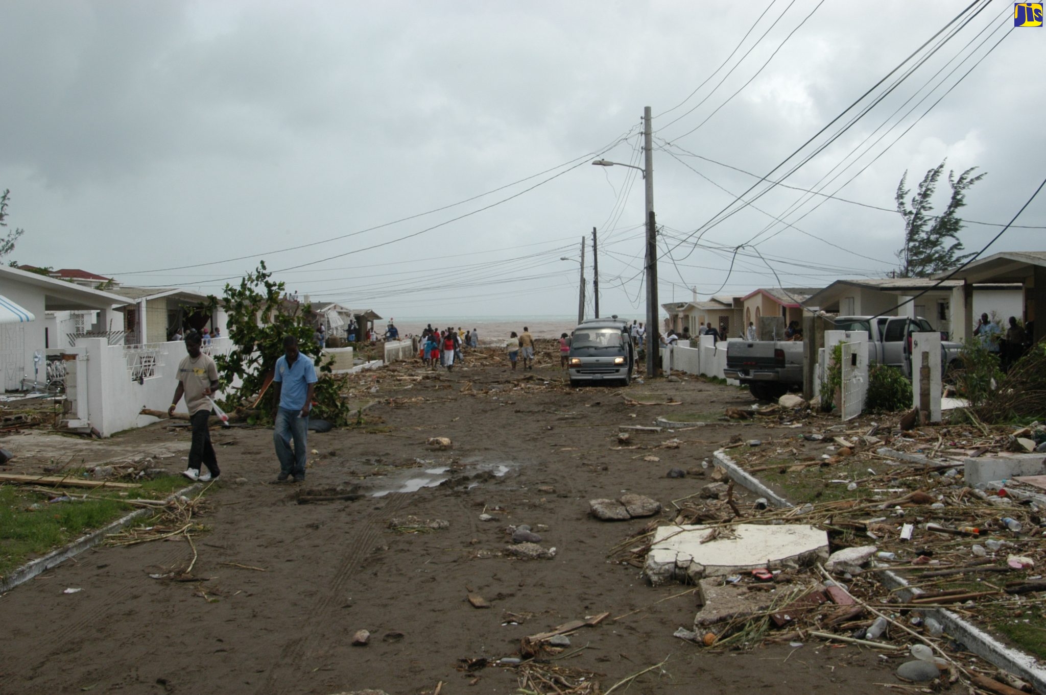
- Director of the Research and Mapping Unit at the Division, Canute Ricketts, made the disclosure in an interview with JIS News during the second International Conference on Disaster Risk Reduction held at the Ministry’s Hope Gardens headquarters on July 24. The tool is currently at a specially selected site in Caribbean Terrace, St. Andrew, which has been severely affected by hurricanes.
- “It was built in 2017 and since then, there have been no major storms that impacted the island to really test it, and we will have to calibrate further in order to get it to the level of accuracy that would be required to use it for any major surge forecasting,” Mr. Ricketts said.
The Full Story
The Mines and Geology Division in the Ministry of Transport and Mining is far advanced in developing a tool to forecast storm surges in Jamaica.
Director of the Research and Mapping Unit at the Division, Canute Ricketts, made the disclosure in an interview with JIS News during the second International Conference on Disaster Risk Reduction held at the Ministry’s Hope Gardens headquarters on July 24. The tool is currently at a specially selected site in Caribbean Terrace, St. Andrew, which has been severely affected by hurricanes.
“It was built in 2017 and since then, there have been no major storms that impacted the island to really test it, and we will have to calibrate further in order to get it to the level of accuracy that would be required to use it for any major surge forecasting,” Mr. Ricketts said.
He told JIS News that the research came out of the need to accurately predict storm surges, given the devastating impact of such events on low-lying areas.
He noted that most of Jamaica’s coastline is prone to storm surge occurrences, highlighting Portland Cottage and Manchioneal as being among the areas of concern.
“Jamaica is a small island state where the entire island is deemed a coastal area. It is one that is highly prone to storm surge occurrences, and we have a long history of storm surges dating back 300 years. “When the first major storm surge occurred in a coastal community known as Queensland (now Passage Fort in Portmore), a 4.8-metre surge pretty much destroyed all of that development,” he noted.
Mr. Ricketts said there was another storm surge in Savanna-la-Mar in 1912 that went almost 800 metres landward.
“We are seeing the same thing now with Caribbean Terrace and some other areas, so we have recognised that there is a need for storm surge forecasting. Once we are able to forecast and determine what areas are more prone to storm surges, we’d then be able to plan the coastal environment better,” he pointed out.
He said that the Mines and Geology Division has a role to play in the development approval process for the built environment, and the storm surge information would assist in designating areas that are prone to wave heights of a certain elevation as ‘no-build zones’. “We could also assess what type of development we are putting in a certain areas based on susceptibility to storm surge occurrences,” he added.
Mr. Ricketts said that the tool that is being developed can also drive policy for the coastal environment. “It is important for coastal design and could determine what mitigation measures can be put in place for coastal areas so you could drive planning, design and policymaking,” he said.


