

Hydrographic Surveying of Kingston Harbour and Portland Bight under Way
By: , December 1, 2017The Key Point:
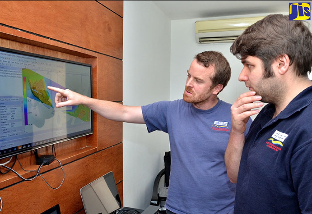
Photo: Dave Reid
EGS Survey Hydrographical Surveyor, Liam Flynn (left), and colleague, Matthew Lock, examine an image of the area of Kingston Harbour being surveyed.The Facts
- Hydrographic surveyor from EGS Survey, Liam Flynn, along with three team members, are tasked with conducting the procedure. The team is already a few weeks into the process, which is expected to take two months.
- Director General of the Maritime Authority of Jamaica (MAJ) and Chairman of the National Hydrographic Committee, Rear Admiral Peter Brady, tells JIS News that the programme is being funded by the UK Foreign and Commonwealth Office at more than $50 million.
The Full Story
Hydrographic surveying is being conducted in Kingston Harbour and Portland Bight with a view to producing updated nautical maps and charts for the safe operation of ships in those areas.
The work, being done under the United Kingdom’s (UK) Commonwealth Maritime Economies Programme, will examine the physical features and structure of the ocean floor.
The examination should provide a clear picture on the depth of the seabed, shoreline and any irregularities that may exist.
Hydrographic surveyor from EGS Survey, Liam Flynn, along with three team members, are tasked with conducting the procedure. The team is already a few weeks into the process, which is expected to take two months.
EGS, which is headquartered in the UK, provides global specialist multi-disciplinary marine support and delivers solutions to the oil and gas, telecommunications, energy and renewables and marine sectors.
Mr. Flynn explains to JIS News that the water around Jamaica has not been surveyed extensively enough and “in some cases for over 150 years”.
“Jamaica has used the outdated lead-line technique, which requires throwing a rope over the side of the ship and measuring it,” he says.
He says that EGS will utilise modern techniques to conduct the surveys, such as the “multibeam echo sounder, which uses multiple acoustic pings or sonar signals that bounce from the seabed to the ship”.
“This will generate a swath around the vessel and will enable us to achieve 100 per cent coverage of the seabed and the areas that we’re working in,” he points out.
He says the team is working with two local vessels out of Port Royal and will cover more than 250 square kilometres of water.
After the mapping process is finished, the work will then be submitted to the UK office, which will validate the information and update the nautical charts in the areas surveyed, taking approximately 12 months.
Mr. Flynn says that having updated nautical maps and charts will be of extraordinary benefit to the country, as larger vessels can come to the island, which will have an impact on trade.
“We’re (also) working with the National Land Agency (NLA) in Jamaica and it is my understanding that Jamaica will develop its own capacity to conduct its own types of survey,” he says.
Director General of the Maritime Authority of Jamaica (MAJ) and Chairman of the National Hydrographic Committee, Rear Admiral Peter Brady, tells JIS News that the programme is being funded by the UK Foreign and Commonwealth Office at more than $50 million.
In noting the importance of the survey, he says that such procedures offer small island developing states the opportunity to explore and exploit the potential of their marine space in the area of trade.
“In order to attract the kind of maritime investments that we need, not only with ships coming to Jamaica but also maritime services that we need to provide to support these ships, we need to have modern surveys of the areas,” he points out.
Beyond that, Mr. Brady explains that the surveys form part of Jamaica’s obligation as a signatory to the International Convention for the Safety of Life at Sea (SOLAS), ratified in 1983.
The international maritime treaty requires signatory flag states to ensure that ships flagged by them comply with minimum safety standards in construction, equipment and operation.
“We are obliged to produce navigational equipment that is current and accurate. Now, with this project coming on stream, we will be able to produce current (and) highly accurate hydrographical data that ships will feel comfortable coming here,” says Mr. Brady.
Updated charts will allow Jamaica to maximise its economic potential, as ships will be able to fill to their draught capacity before coming to the island.
Mr. Brady notes that the British Virgin Islands, having completed a hydrographic survey, was able to achieve “50 times the growth in its cruise shipping”.
Noting the benefits to the NLA from the project, he says it is important to build the capacity of the agency to facilitate “inshore work” for hydrographic surveying.