Two New LAMP Field Offices Open
By: , June 4, 2014The Key Point:
The Facts
- The offices are located in St. Ann’s Bay, St. Ann and Savanna-la-Mar in Westmoreland.
- The new locations will complement the service currently being provided at existing LAMP offices in Kingston; Santa Cruz and Junction in St. Elizabeth; and Golf View in Manchester.
The Full Story
In a bid to expand the reach of the Land Administration and Management Programme (LAMP), additional field offices have been opened in two parishes.
The offices, which were opened by LAMP’s private sector partner, Geoland Title Limited, are located in St. Ann’s Bay, St. Ann and Savanna-la-Mar in Westmoreland.
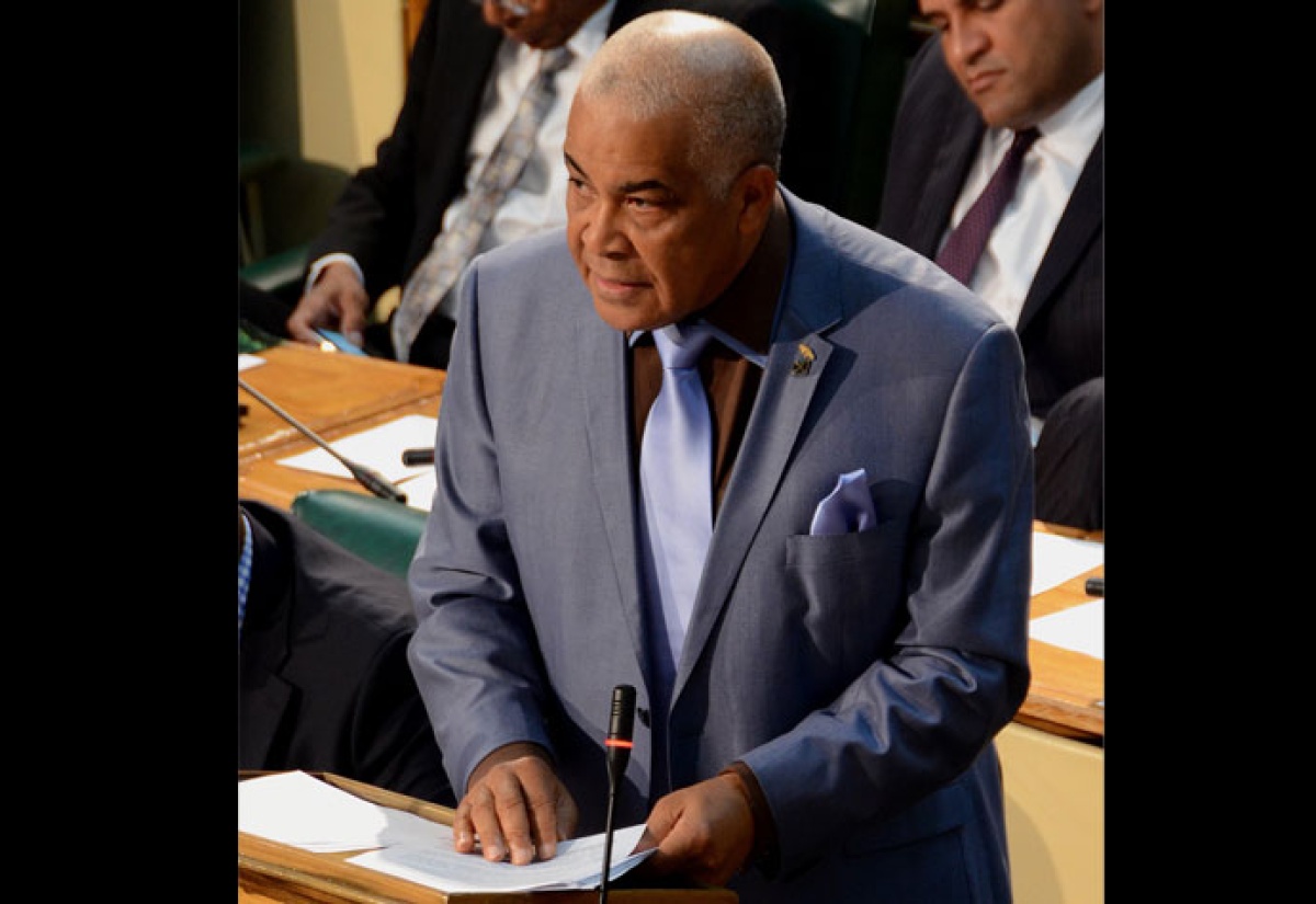
This was disclosed by Minister of Water, Land, Environment and Climate Change, Hon. Robert Pickersgill, while making his contribution to the 2014/15 Sectoral Debate in the House of Representatives on June 3.
Mr. Pickersgill said the new locations will complement the service currently being provided at existing LAMP offices in Kingston; Santa Cruz and Junction in St. Elizabeth; and Golf View in Manchester.
In the meantime, Minister Pickersgill informed that the LAMP II public-private partnership has been extended for a further period of 10 years with an expansion of the number of parishes to eight.
These include Clarendon, Manchester, St. Elizabeth, St. Ann, Westmoreland, Hanover and Trelawny and St. James.
He further informed that using the LAMP II Expansion, the Ministry will also be able to incrementally build the cadastral map for Jamaica, using the survey plans which have been tied into the national grid.
Under LAMP II, as at April 30, some 2,653 land parcels have been surveyed and 3,865 parcels have been placed in the digital Cadastral Map data base for St. Elizabeth.
A cadastre is a comprehensive register of the real estate or real property’s metes-and-bounds of a country. A cadastral map shows the boundaries of land parcels in their correct geographical positions and may be used for a wide range of purposes including registration of titles to lands; property valuation; development planning; and land use depiction, planning and analysis.
Mr. Pickersgill informed that over 8,000 existing parcels of government land at the National Land Agency (NLA) have been converted to a digital format and a digital cadastral map for St. Elizabeth has been created with just over 11,000 parcels.
This, he said, will assist in better planning and impact on the development approval process.
Minister Pickersgill spoke under the theme ‘Building Resilience – Ensuring Sustainable Development’.


