

GIS Technology Deemed a Pivotal Environmental Tool
By: , November 17, 2016The Key Point:
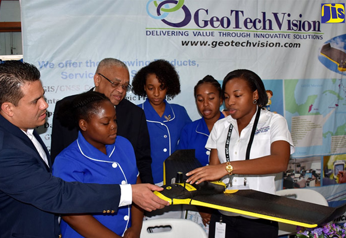
Photo: Mark Bell
Government Senator, Matthew Samuda (left), and University of the West Indies (UWI) Pro-Vice Chancellor and Mona Campus Principal, Professor Archibald McDonald (3rd left), listen as Geoinformatics Specialist, GeoTech Vision, Sheree Cameron (right), explains the features of the ebee sensefly survey grade mapping drone during the 14th National GIS Day Exposition at the UWI in St. Andrew, today (November 16). Others sharing in the moment (from 2nd left) are Grade 13 students of Immaculate Conception High School in St. Andrew: Damoi Escoffery, George-Ann Prendergast, and Selena Salmon.The Facts
- Dr. Chang said the utilisation of GIS technology could result in increased garbage collection in some areas; the strategic or additional placement of skips in other locations that generate significant volumes of solid-waste garbage; and heightened monitoring of areas where illegal dumping occurs.
- Dr. Chang indicated his optimism that GIS technology could also be used in managing the island’s landfills and dumps, adding that he was heartened about the potential employment opportunities that could result from the utilisation of this innovation and other applications.
The Full Story
Minister without Portfolio in the Ministry of Economic Growth and Job Creation, Hon. Dr. Horace Chang, says Geographic Information System (GIS) technology could be used to address environmental issues such as improper garbage disposal.
“GIS technology can help us to create data sets that will tell us what areas are most affected by this garbage nuisance and subsequent health threats, and help us make informed choices on how to deal with the challenges of illegal dumping,” he said.
He made these remarks in a speech delivered by Government Senator Matthew Samuda at the 14th annual National Geographic Information Systems Day Exposition, which was held at the University of the West Indies (UWI) Mona campus in St. Andrew today (November 16).
Dr. Chang said the utilisation of GIS technology could result in increased garbage collection in some areas; the strategic or additional placement of skips in other locations that generate significant volumes of solid-waste garbage; and heightened monitoring of areas where illegal dumping occurs.
“When I watched the news in the wake of Hurricane Matthew, I was alarmed at how choked our gullies and waterways are, with such things as plastic bottles and bags and used styrofoam containers.
“We have a real problem on our hands, as this garbage can create serious health issues because they are breeding grounds for disease-causing vectors such as rats, roaches and mosquitoes,” he said.
Dr. Chang indicated his optimism that GIS technology could also be used in managing the island’s landfills and dumps, adding that he was heartened about the potential employment opportunities that could result from the utilisation of this innovation and other applications.
The Minister further said that GIS can help in policy decision-making based on real data sets, in order to facilitate the successful management and resolution of some of Jamaica’s challenges.
In the meantime, Dr. Chang said GIS technology could be pivotal in the country’s fight against the spread of diseases and in the quest to improve general public health.
He said the technology can assist with the mapping process in locating the source of these diseases, how they are spread and what communities are affected the most, so that health workers can move swiftly to contain them.
“It can pinpoint communities that do not have adequate health services or health workers, and help us decide what areas or communities to place additional clinics in to serve growing populations, as well as determine whether our hospitals are adequately staffed and equipped to handle the number of cases they receive,” he said.
In this regard, Dr. Chang commended the National Spatial Data Management Division and the Land Information Council of Jamaica for the sterling work they have been doing to shape policy, provide strategic direction, promote awareness and conduct training in GIS and related technologies.
He urged students to familiarise themselves with these innovations, adding that the knowledge gained will empower them to assume leadership in an increasingly complex cultural and environmental situation, and subsequently position them to make a positive mark on the world.
The exposition was held under the theme ‘Geospatial Technologies: Advancing Public Health Services’.