

Conference to Highlight Use of Geospatial Technologies
By: , September 7, 2017The Key Point:
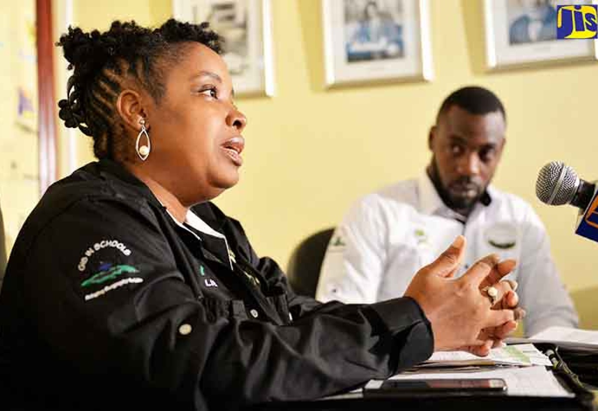
Photo: Yhomo Hutchinson
Senior GIS Manager and Trainer, National Spatial Data Management Division (NSDMD), Simone Lloyd (left), delivers a presentation at a Jamaica Information Service (JIS) 'Think Tank' on September 6. At right is Manager and Assistant Trainer of the GIS in Schools Education Programme (GISSEP), Jumaine Remikie.The Facts
- The GIS User Conference, to be held on October 10 and 11 at The Jamaica Pegasus hotel in Kingston, is expected to host a range of local and regional public- and private-sector agencies and stakeholders.
The Full Story
The National Spatial Data Management Division (NSDMD) will be using its inaugural Geographic Information Systems (GIS) User Conference next month to highlight how geospatial technologies can be used in maintaining national security and public safety.
Senior GIS Manager and Trainer at NSDMD, Simone Lloyd, says the conference will be used to examine the use of GIS and other geospatial technologies in areas such as policing, crime mapping and analysis, hotspot analysis, praedial larceny and vehicle tracking.
Ms. Lloyd, who was speaking at a Jamaica Information Service (JIS) ‘Think Tank’ on September 6, said while GIS is used by the Ministry of National Security, through systems such as the Crime Observatory and the StayAlert app; the Jamaica Constabulary Force (JCF); and the Jamaica Defence Force (JDF), among others, the conference will be used to promote its use on a more extensive basis.
“GIS facilitates us being able to map the location of features, so it is place-based, location-based, and anything that is located somewhere in the island, whether it’s human-related or physical, can be mapped, can be monitored and can be managed effectively with a view to ensuring development,” she explained.
The GIS User Conference, to be held on October 10 and 11 at The Jamaica Pegasus hotel in Kingston, is expected to host a range of local and regional public- and private-sector agencies and stakeholders.
The conference forms part of a series of year-long activities by the NSDMD, an agency of the Ministry of Economic Growth and Job Creation, to celebrate the 25th anniversary of the Land
Information Council of Jamaica (LICJ), which it administers, and to create awareness around geography. The activities are being done under the theme ‘Geospatial Technologies – Mapping Our Way to Secure Communities’.
Ms. Lloyd said this theme is relevant due to the high reports of criminal activity impacting some communities, and highlights the value of using geospatial technologies to ensure security nationally.
Manager and Assistant Trainer with the GIS in Schools Education Programme (GISSEP), Jumaine Remikie, said GIS offers dynamic tools that can facilitate real-time sharing of data among crime-fighting agencies, which is critical to national security efforts.
“So [security personnel] can use GIS data to better streamline their operations; for example, if they are seeing a cluster of murders in a particular area, they can strategise and send resources to this area,” he said.
Mr. Remikie said the geospatial technologies can also be used in implementing social-intervention strategies in communities.
“So, if we put an intervention mechanism in place, how do we know that it is working? GIS as a tool can be used to monitor these strategies. It can also be used in terms of targeting where to place these strategies. When you make better decisions by monitoring resources better, in time you will save money,” he said.
Meanwhile, the GIS conference will also be used to promote other ways geospatial technologies impact sustainable development and can contribute to economic growth, such as in health, tourism, climate change, and disaster and emergency preparedness.
Ms. Lloyd said the event will be used as a platform for networking among policymakers, leaders and industry stakeholders in the sharing of best practices and to facilitate discussion on how to align the varying strategic objectives and mandates in the mutual use of GIS.
“This is being hosted to ensure that we facilitate greater public awareness of geospatial technology, how it’s being utilised and how it can effectively assist us in achieving all the various goals that we have set,” she said.
Prime Minister, the Most Hon. Andrew Holness, is expected to be keynote speaker at the opening ceremony. There will also be representatives from international GIS agency, Environmental
Systems Research Institute (Esri), as well as from regional private-sector company, GeoTechVision Enterprises Ltd.; the Caribbean Leadership Programme; and from main sponsor, Spatial Innovision Limited.
Registration for the conference has been extended to September 15, and the NSDMD is reporting there has been significant uptake. The conference is expected to have 150 attendees.
The cost is $12,000 for government members, $15,000 for private-sector members and $7,000 for tertiary students. Reduced rates are offered for groups of five or more.